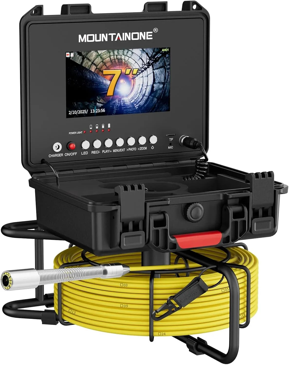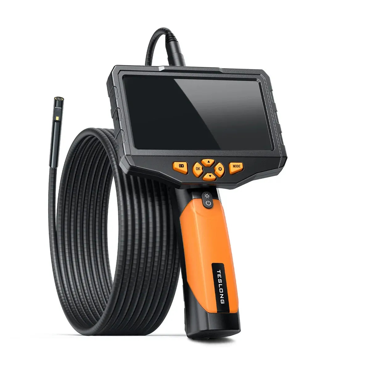
Tie images to a specific survey run, preserve the original recording and distinguish an observed condition from its interpretation and proposed repair.
Begin with a map of the inspection
Identify the property or site, access point, date and direction of inspection. Describe the drainage run you intended to follow and which parts were actually reached. Where available, record pipe size and material, explaining whether these were measured, supplied by existing information or inferred.
AJS Environmental's report guide uses the survey run, direction, distance and defect record to help readers understand a CCTV drain survey. As a service-provider guide, it is a reference for the workflow. It does not establish that every low-cost camera can produce the same coverage or accepted deliverable.
Tie each image to its location
Save the continuous recording as well as selected stills. Give a finding a time reference and, where a reliable system provides it, distance from the stated starting point. Explain the method behind any distance value. An approximate feed length should not be presented as a surveyed position.
If a camera has a locator, distinguish the identified surface position from the image itself and record how it was obtained. The devices in the available reviews do not establish a universal locating capability. Verify the exact transmitter and receiver arrangement before relying on that feature.
Separate the image from the diagnosis
Write what can be seen before interpreting it: an obscured joint, a deposit, standing water or an apparent opening, for example. Note image quality and anything that prevents confirmation. A close-up alone may not establish a cause, the extent of damage or the correct repair.
Avoid turning uncertain footage into a repair instruction. A qualified drain specialist can explain the significance of a finding in the context of the route and conditions. For formal decisions, ask the intended recipient what report format, coding or supporting survey information they require.
The stopping point belongs in the report
HighTechDad's review is valuable because it describes what ended the inspection: dirt and debris stopped advancement and mud obscured the image. A useful record includes this boundary, the last visible location and the sections left unseen. It should not describe an entire line as clear when the camera reached only part of it.
Finish with the next step and the uncertainty behind it: clean and inspect again, obtain another access point or commission a professional survey. Preserve the originals and provide copies appropriate for the recipient. If the footage shows private property or identifying details, obtain the necessary permission before publishing it.
- Inspection date, entry point and direction.
- Actual coverage and the basis for any distance readings.
- Original footage plus referenced still images.
- Observed conditions and qualified interpretation kept clear.
- Visibility problems, stopping points and uninspected sections.
- Next action and the report recipient's requirements.
Sources & further reading
These are external published reviews or specialist guidance. Their observations are attributed; they are not our own physical tests. Source availability and hardware may change.